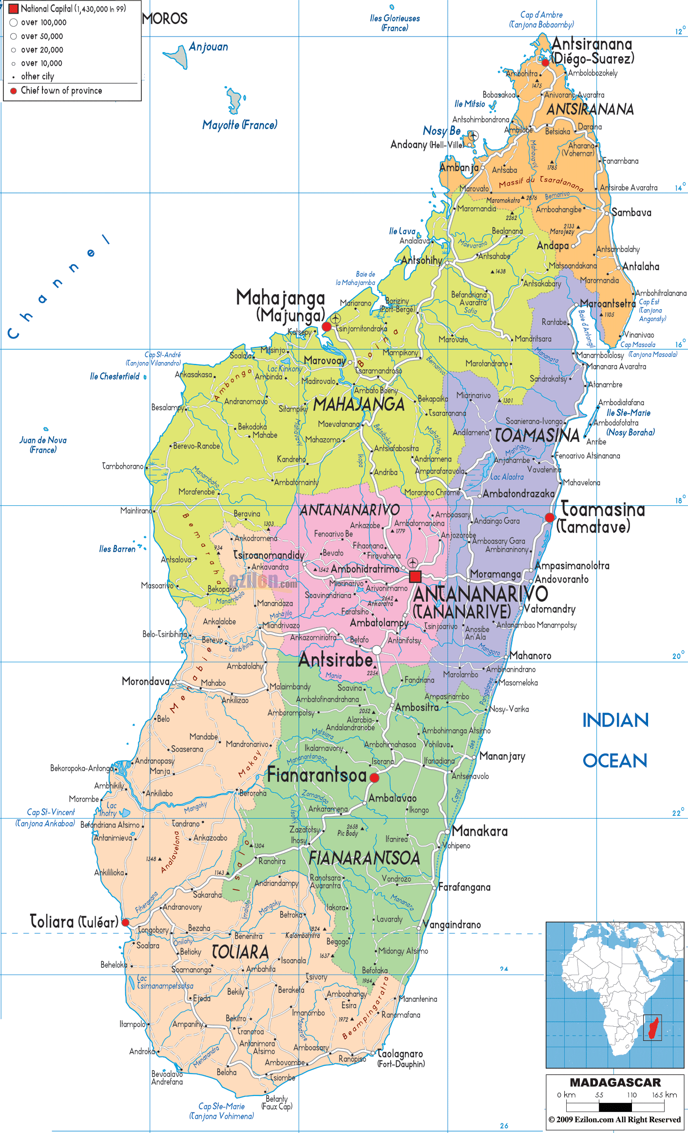
The country of Madagascar is an island so the land that is
on the coast would make up the political and national boundaries. The island is surrounded by the Indian Ocean on sides. These boundaries would not change over time
since the country has always consisted of the whole island. This might help
make things not as complicated with boundary issues since it is an island. The
island has been introduced to religions because of the people that have
explored the island in the past. This has most likely affected the culture of
these people when Christianity and Islam were introduced to the people.
"Political Map of Madagascar - Ezilon Maps." Political Map of Madagascar - Ezilon Maps. Accessed May 1, 2015. http://www.ezilon.com/maps/africa/madagascar-maps.html.

No comments:
Post a Comment